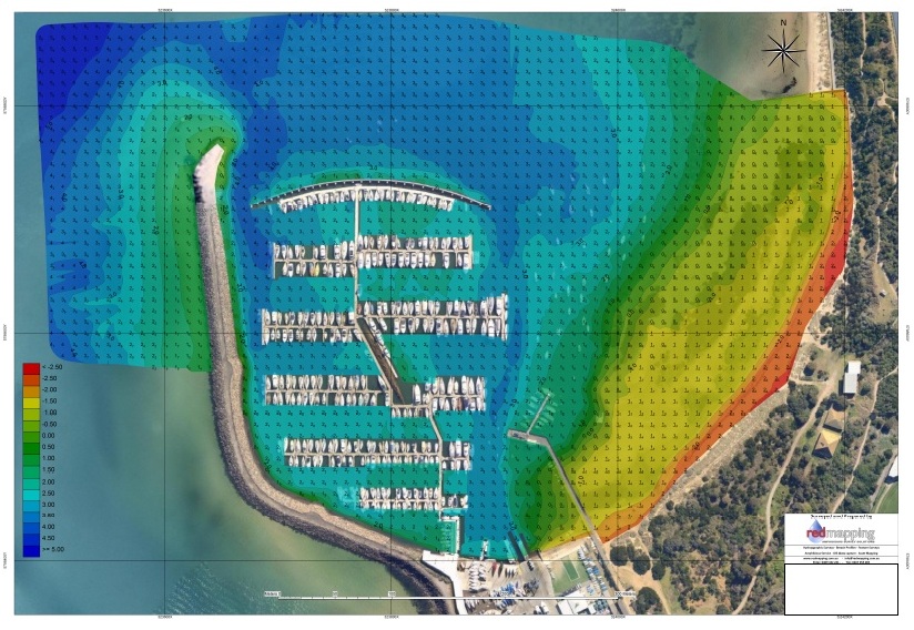
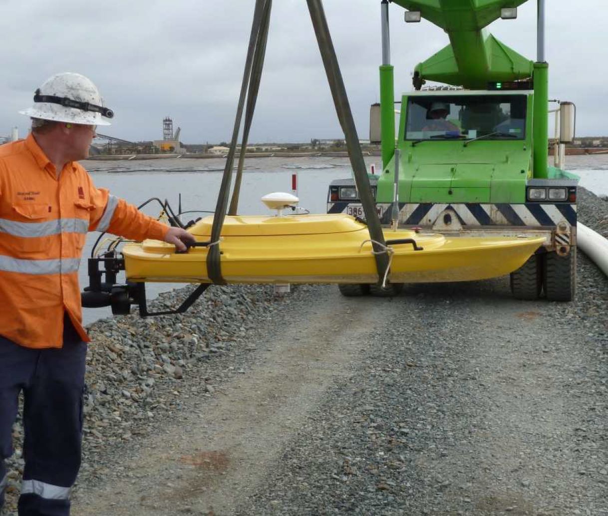
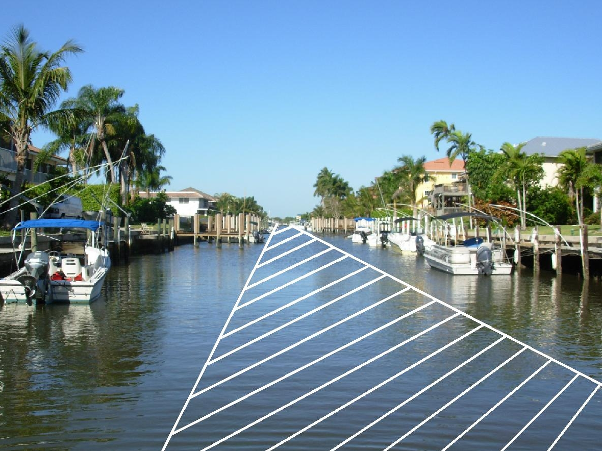
We can organize for a marina survey to determine which areas are most silted up thus allowing the dredging efforts to be concentrated there first. We use a remote controlled survey boat with GPS and sonar capabilities linked to our proprietary Sea bottom mapping software. By conducting a survey before and after dredging the amount of extracted silt can be accurately determined and the new bottom profile mapped.
Surveys


